Image source: Library of Congress
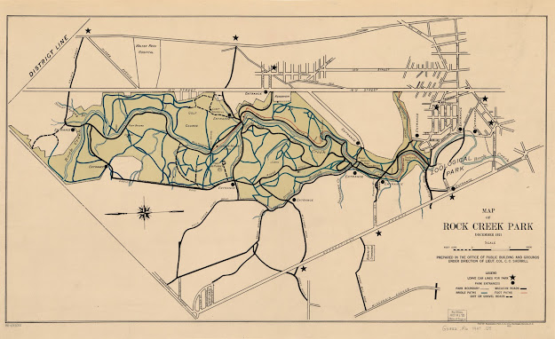
Rock Creek Park is the green heart of Washington, DC. However, most of DC's residents do not realize quite how large the park is, or how much it has to offer. The map below highlights areas of interest in the park, as well as its more well-known hiking trails. In the coming weeks, I will be adding photographs of some of the fauna you can see in Rock Creek, and marking where on the map these species can commonly be found. Be sure to check back for this!
The below map was created using Google My Maps. This tool allows the creator to use Google Maps as a base, and annotate various features on the map. You can outline regions, insert directions (walking, driving, and biking) from point A to B, and highlight different areas of interest. You can also create various map layers for the different topics you'd like to display on your map. The tool has a plethora of icons to help visually identify the various map markers, and even allows the creator to upload images or pull in photos from Google to help illustrate the points of interest.
I was amazed at how easy it was to use this tool, especially in comparison to the less user-friendly ArcGIS software. It is a great tool for intro cartographers, but can also be useful for those who are more advanced, as various data sets can be uploaded and displayed on the map. I believe this tool could be very useful for outlining scientific expeditions and make it easier for the public to engage in these. Personally, I look forward to using it in the future when planning travel.

Comments
Post a Comment